SERVICES - ENGINEERING SURVEYORS:Whether you are involved
in Planning, New Construction, a Civil Engineering contractor
who needs a site set out or an Architect requiring a topographic
survey, our dedicated teams can save you time and money with our
range of surveying services.
Our extensive knowledge of the industry and experience of
working on a broad spectrum of projects means you are assured of
a professional approach every time. And because time and money
are of the essence, you need an expert Surveyor you can trust to
give you accurate results, on time and to budget.
In conducting your Survey, we include everything from the
initial land Survey through to site investigation and
Geophysical Surveys, for a single fixed price. We offer a range
of inclusive packages to ensure all our clients receive the best
service from Geomatics including:-
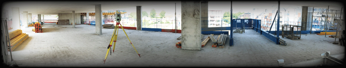
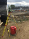
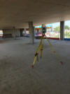
· Setting Out Engineers
· Topographic Surveys
· Site Engineering Surveys
· Measured Building Surveys
· Aerial (Drone) Surveys
· Hydrographic River Surveys
· 3-D Building scans (Interior/Exterior) Building Modeling
· Building and Architectural Surveys
· Railway Track Surveys (PTS - AC/DC trained)
· Mechanical surveys for nuclear industries
· Volumetric and Extraction Modelling
· Restricted Access Surveys
· Site Investigation
· Flood Risk Assessment
· Civil Engineering Projects including
groundworks foundations & drainage
· 3-D Scanning & Modeling
· Boundary Dispute Surveys
· Building Information Modelling (BIM)
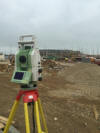
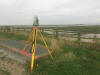
All our Survey teams consist of a qualified Surveyor/Engineer
and a Technician who use high specification kit including
Trimble Robotic Total Stations Model S6 & SPS 700, Trimble
GNSS/GPS systems all of which are supported by the latest CAD
software. Our drawings are produced in a range of digital
formats and hard copies as the client requires.
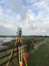
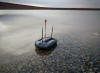
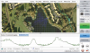
Hydrographic River Surveys:
If you require a Fast, Safe, Accurate and Cost Effective river
or open water course surveys then Geomatics UK is your starting
point. Linking echo soundings and total station data to give
real time views of survey and bed profiles.
We provide the full package of surveying and processing in a
full 3D Cad (DWG) environment with exports in various formats
for modelling.
For detailed information on Drone Surveys, Civil Engineering and
3D laser scanning please click here:
Drone Surveys
Civil Engineering
3d Laser Scanning
(separate website)
IMAGE GALLERY:
|
ACCREDITATIONS:
We are CHAS, RICS, Chartered ICES and ISO 9001:2008 accredited
ensuring our services, management procedures and systems are of
the highest standard and always meet the needs of our customers.
We are also registered with Construction Line.

|