
 |
|
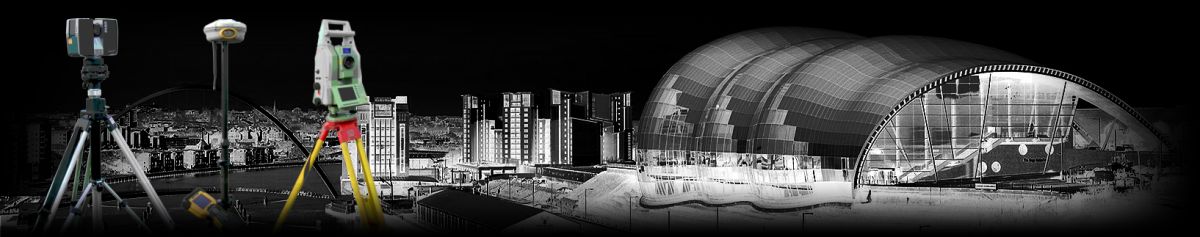
GEOMATICS UK LTD Chartered Land & Engineering Surveyors Geomatics UK Ltd is one of Britain’s foremost Land Surveying & Construction Site setting out specialists. We offer a range of comprehensive services to clients throughout the UK including:- · Setting Out Engineers · Topographic Surveys · Site Engineering Surveys · Measured Building Surveys · Aerial (Drone) Surveys · Hydrographic River Surveys · 3-D Building scans (Interior/Exterior) Building Modeling · Building and Architectural Surveys · Railway Track Surveys (PTS - AC/DC trained) · Mechanical surveys for nuclear industries · Volumetric and Extraction Modelling · Restricted Access Surveys · Site Investigation · Flood Risk Assessment · Civil Engineering Projects including groundworks foundations & drainage · 3-D Scanning & Modeling · Boundary Dispute Surveys · Building Information Modelling (BIM) For detailed information on Aerial Surveys, Civil Engineering and 3D laser scanning please click here: Aerial Surveys Civil Engineering 3d Laser Scanning (separate website) |
ACCREDITATIONS: We are CHAS, RICS, Chartered ICES and ISO 9001:2008 accredited ensuring our services, management procedures and systems are of the highest standard and always meet the needs of our customers. We are also registered with Construction Line. To view a copy of our ISO 9001 2015 Quality Policy please click here (pdf)  |
|
NAVIGATION HOME PROFILE SERVICES NEWS CONTACT OTHER GEOMATICS SERVICES 3-D LASER SCANNING HIRE |
CONTACT Geomatics UK Ltd Arch Centre For Enterprise, Suite F19 Lintonville Parkway, Ashington Northumberland, NE63 9JZ (view map) Tel: 01670 528401 Mobile: 07711 619438 enquiries@geomatics-uk.com |
SOCIAL MEDIA |
Copyright © 2015 Geomatics Uk Ltd