
PROFILE
Geomatics Uk Ltd have been established in the surveying/civil
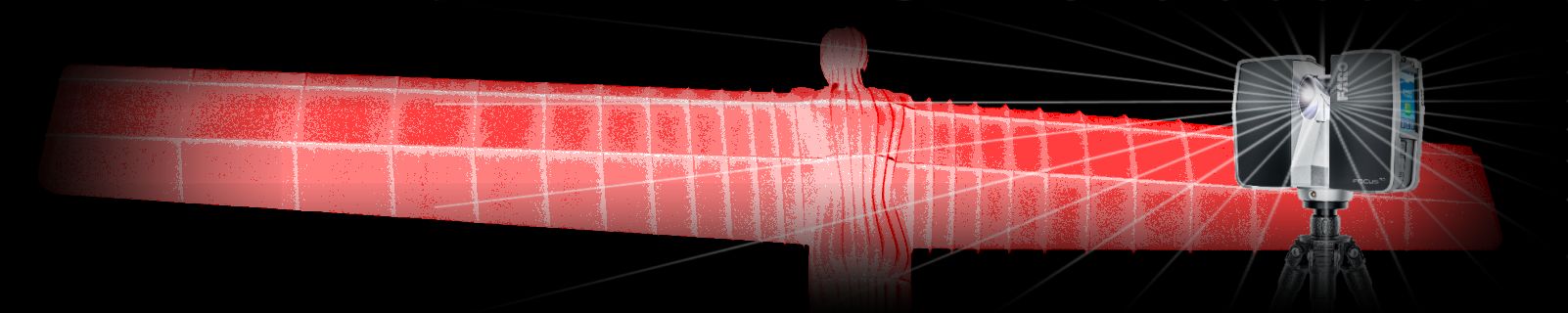
engineering industry for over 20 years and were one of the first companies
within the UK to utilise the revolutionary technology of 3D laser
scanning.
With the recent launch of the Trimble SX10 Scanning Total Station, our capabilities/range of services offered to clients has expanded beyond expectation. From traditional surveys to highly complex 3D modelling, the Trimble SX10 Scanning Total Station gives us an unparalleled edge over competitors without this technology.
ACCREDITATIONS AND MEMBERSHIPS:

We are CHAS, RICS, Chartered ICES and ISO 9001:2008 accredited ensuring our services, management procedures and systems are of the highest standard and always meet the needs of our customers. We are also registered with Construction Line.
| NAVIGATION Home Profile 3D Scanning Projects Contacts News Hire |
CONTACT Geomatics UK Ltd Arch Centre For Enterprise, Suite F19 Lintonville Parkway, Ashington Northumberland, NE63 9JZ (view map) Tel: 01670 528401 Mobile: 07711 619438 enquiries@geomatics-uk.com |
LINKS FARO CHAS ISO9001 RICS CICES Constructionline |
SOCIAL MEDIA |