
 |
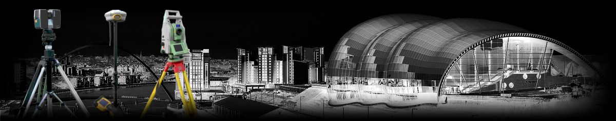
 Including: Topographic Surveys, Site engineering, Aerial (Drone) Surveys, Measured Building Surveys, Hydrographic River Surveys & Mechanical surveys for nuclear industries. MORE INFO >> |
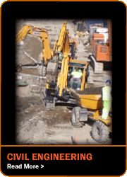 Our Civil Engineering & Design contracting division has gone from strength-to-strength, with an ever growing list of satisfied clients including local authorities, main contractors, developers and more. MORE INFO >> |
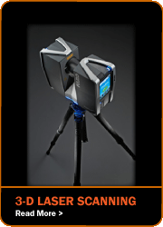 Using the latest Faro Focus3D laser scanners, Geomatics Uk Ltd. offer a 3-D Laser Scanning service to customers throughout the UK for industrial or architectural projects. For further info visit our SCANNING website > > |
 We offer a comprehensive range of surveying equipment for hire on a daily, weekly and long term basis. For further info visit our HIRE website > > |
|
NAVIGATION SURVEYING CIVIL ENGINEERING AERIAL SURVEYS 3-D LASER SCANNING HIRE  |
CONTACT Geomatics UK Ltd Arch Centre For Enterprise, Suite F19 Lintonville Parkway, Ashington Northumberland, NE63 9JZ (view map) Tel: 01670 528401 Mobile: 07711 619438 enquiries@geomatics-uk.com |
SOCIAL MEDIA |